Project Genie With Street View Is Google Turning World Models Into a Geospatial Runtime

Project Genie’s new Street View grounding looks, at first glance, like a delightful way to turn a real neighborhood into a fantasy level. That is the consumer demo. The platform story is more serious: Google is attaching world models to one of the largest geospatial datasets on the planet.
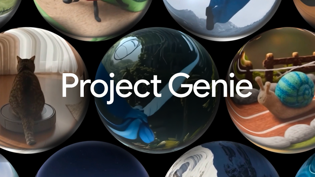
Google DeepMind says Project Genie can now use Street View imagery as a grounding layer. A user taps a Maps pin, chooses a U.S. location, optionally selects a style like Ocean World, Desert Sands, Stone Age, or black-and-white film, describes a character, and explores a generated interactive world connected to that real place. The feature is gradually rolling out to eligible Google AI Ultra subscribers globally, age 18 and up.
That is fun. It is also a hint about where Google thinks world models go next: not isolated synthetic spaces, but generated environments anchored to real-world imagery, maps, and eventually developer workflows.
Maps is a grounding layer, not just a backdrop.
The technical detail to watch is Maps Imagery Grounding, the Maps Platform capability behind the feature. Google’s Maps grounding docs describe coverage across more than 300 million places worldwide, with Maps Grounding Lite via MCP, Gemini API, AI Studio, Agent Platform paths, and Maps Imagery Grounding in private preview for generative media anchored in real locations. Project Genie’s Street View support is U.S.-only at launch, with expansion planned, but the product direction is obvious.
Street View gives generative systems something most simulated environments lack: dense, familiar, already-captured context about the physical world. Generic world models can invent plausible spaces. A Street View-grounded model can start from an actual intersection, storefront, landmark, or street layout, then transform it into an interactive scene. That matters for games and novelty demos, but it matters more for simulation, training, logistics, real estate, travel, tourism, local commerce, and eventually embodied agents.
DeepMind’s model page describes Genie 3 as generating photorealistic interactive worlds from text at 720p and 20–24 frames per second. Claimed properties include real-time interaction, controllable worlds, world consistency, stability, and grounding in Street View. The limitations are just as important: limited action space, difficulty modeling interactions between multiple independent agents, imperfect accuracy for real-world locations, weak text rendering unless text is in the prompt, and only a few minutes of continuous interaction rather than hours.
Those caveats should prevent the lazy take. This is not a production robotics simulator. It is not a factual digital twin. It is not a reliable reconstruction of your next warehouse rollout. But it is an early version of a stack that could become very powerful if the grounding improves and developers get access to the right controls.
For agent builders, simulation is one of the missing bridges between benchmark success and real-world deployment. Coding agents get tests. Browser agents get replayable tasks. Robots, navigation agents, and embodied assistants need environments where failure is cheap and repeatable. A world model grounded in Maps data could become a training and evaluation substrate for navigation behavior, local discovery, spatial reasoning, store operations, and last-mile logistics experiments — provided the system is honest about uncertainty and does not let synthetic fidelity masquerade as ground truth.
Grounded does not mean true.
This is the phrase product teams should print above the whiteboard. Grounded does not mean true. It means less unmoored. A generated world based on Street View can still hallucinate geometry, misrepresent current conditions, invent entrances, simplify hazards, or stylize away details that matter. DeepMind explicitly says Genie cannot perfectly simulate real-world locations. That warning needs to survive the transition from research page to sales deck.
The risk is user interpretation. If a generated scene is obviously fantasy — the Golden Gate Bridge underwater, a Stone Age Manhattan, a cartoon desert version of a shopping district — users understand that it is creative media. If the same system is used for travel previews, property visualization, training, navigation rehearsal, or insurance workflows, the visual realism can create false confidence. The more grounded the media looks, the more important provenance, labeling, and secondary validation become.
There is also a data-rights and local-accuracy question lurking underneath. Google Maps is a uniquely valuable dataset, and tying it to generative media makes that moat wider. Competitors can build impressive 3D generation, but they cannot easily replicate Street View’s global capture pipeline, place graph, and developer distribution. That gives Google a serious advantage if Maps Imagery Grounding becomes a commercial API. It also means developers will need to understand licensing, allowed uses, attribution, caching, privacy restrictions, and regional availability before building a business around it.
The near-term business use cases are more practical than the demo suggests. Real estate teams could generate alternative walkthrough concepts from property surroundings. Travel companies could create stylized previews of itineraries. Retailers could visualize pickup points or store experiences. City planners and logistics teams could prototype scenario media. Game studios could use real places as reference scaffolding for explorable worlds. None of that requires perfect physics. It does require clear disclosure and constraints.
Builders should evaluate Genie and Maps Imagery Grounding with a verification-first checklist. What exactly is grounded in source imagery? What is invented? Can the system expose source references? Are generated outputs labeled and credentialed? Can developers constrain geographic scope, style, time, and realism? Can outputs be used commercially? Are there safety filters for sensitive locations? If a user makes an operational decision from the generated scene, what evidence backs it?
The interesting part of Project Genie is not that Google can make Street View weird. The interesting part is that Maps may become a runtime dependency for generative worlds and agent simulation. LGTM as a research and platform direction. Request changes on any product that lets “based on Street View” quietly become “accurate enough to trust.”
Sources: Google, Google DeepMind, Google Maps Platform